We have been on the river and away from the internet for a while now. We have just arrived in Moab, Utah and we are about to start floating through Cataract Canyon. These photos show a few of the interesting things that we encountered from Glenwood to Moab. Stay tuned for more detailed updates when we finish Cataract at the end of July!
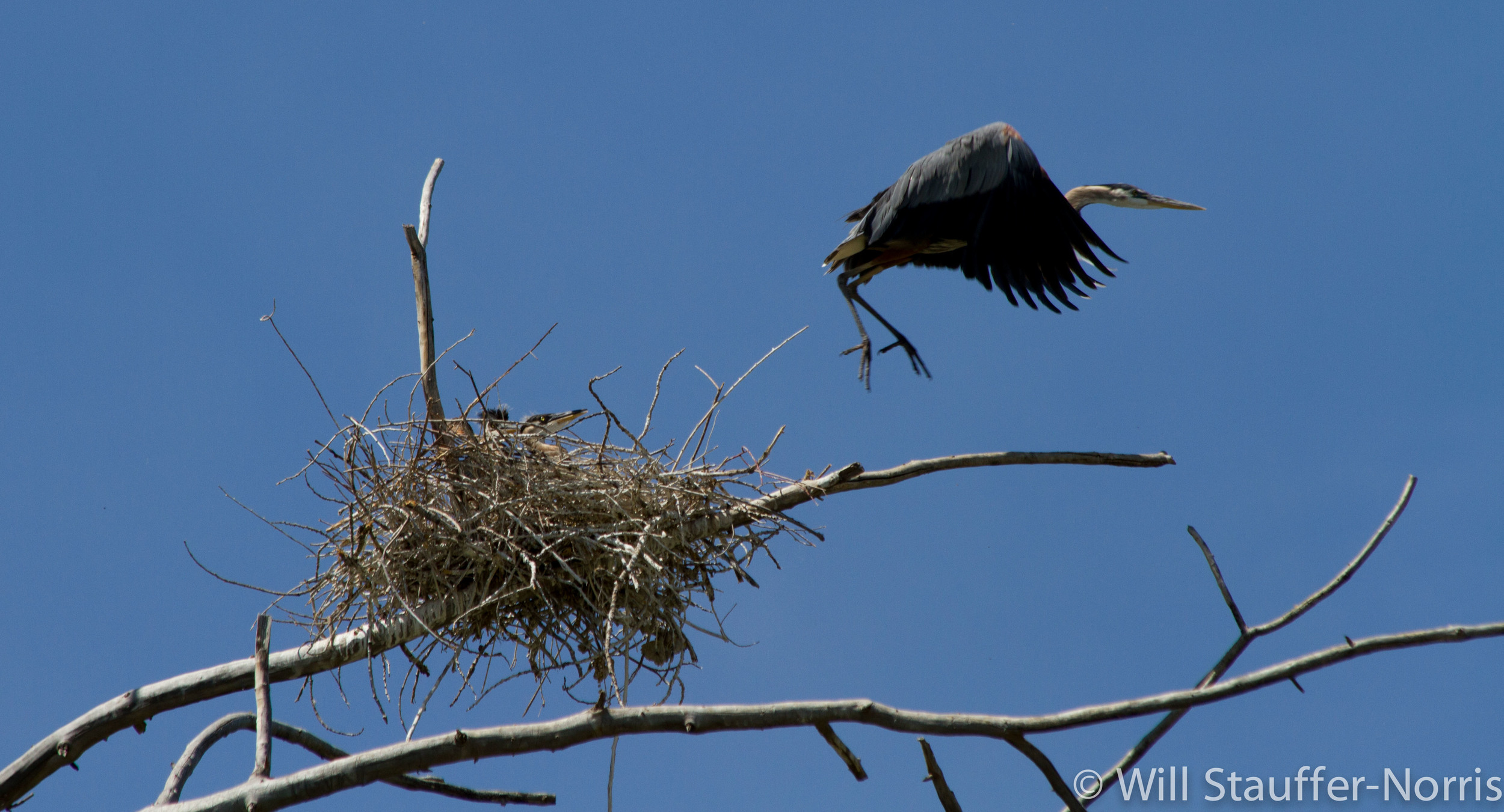
Many great blue herons have chicks at their nests close to the river (and the road).
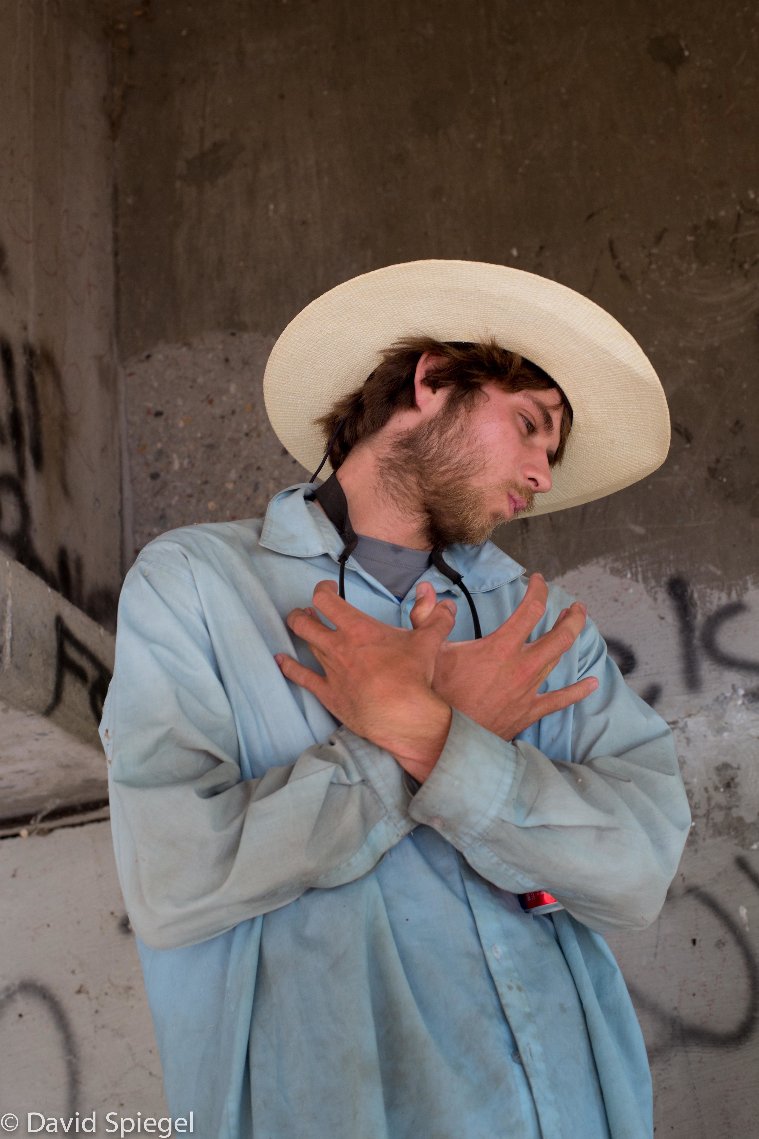
Zak shows his Wu-tang Clan pride next to the graffiti under a bridge in Silt, CO. We passed many towns along the I-70 corridor past Glenwood. It has been strange to be traveling via river and camping out despite being next to civilization.
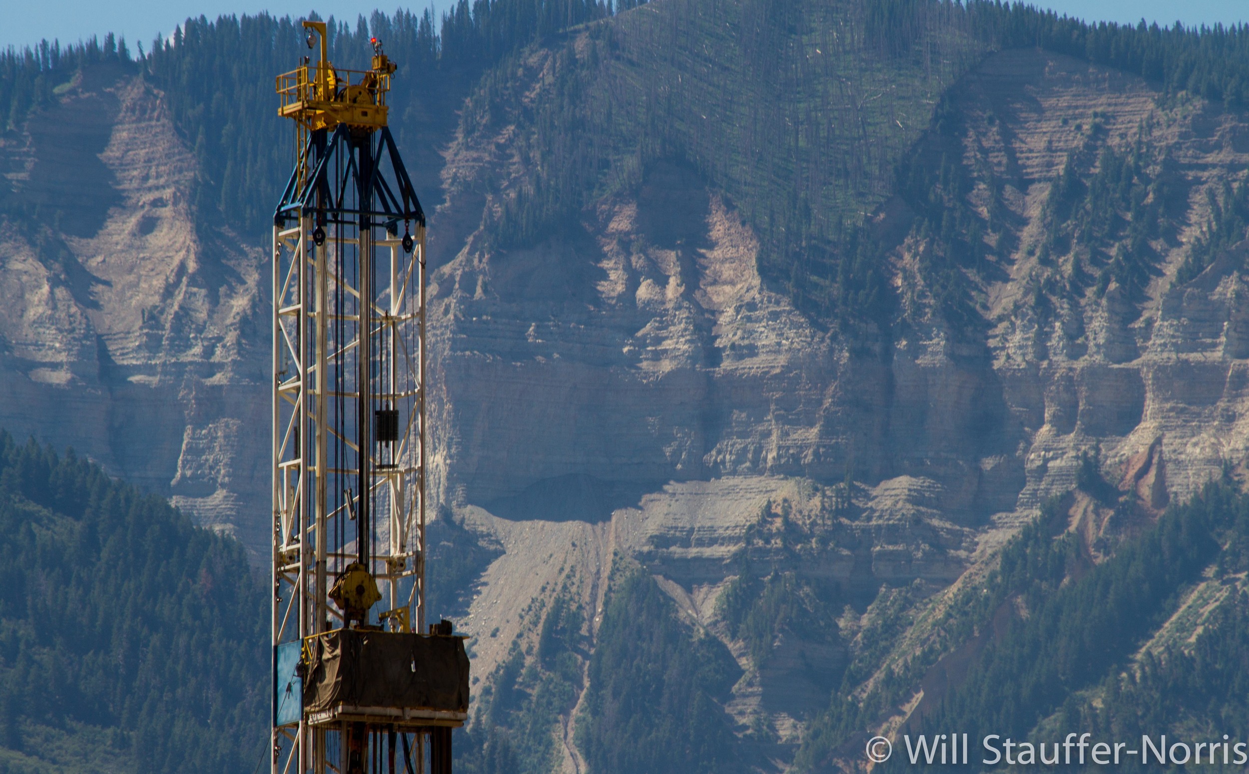 Between Glenwood Springs and Grand Junction, gas development is in full swing. Fracking (pumping mixtures of water and chemicals underground to extract natural gas) is commonplace, even near the river.
 Will holds a garter snake. Even along I-70, the riparian corridor is filled with life.
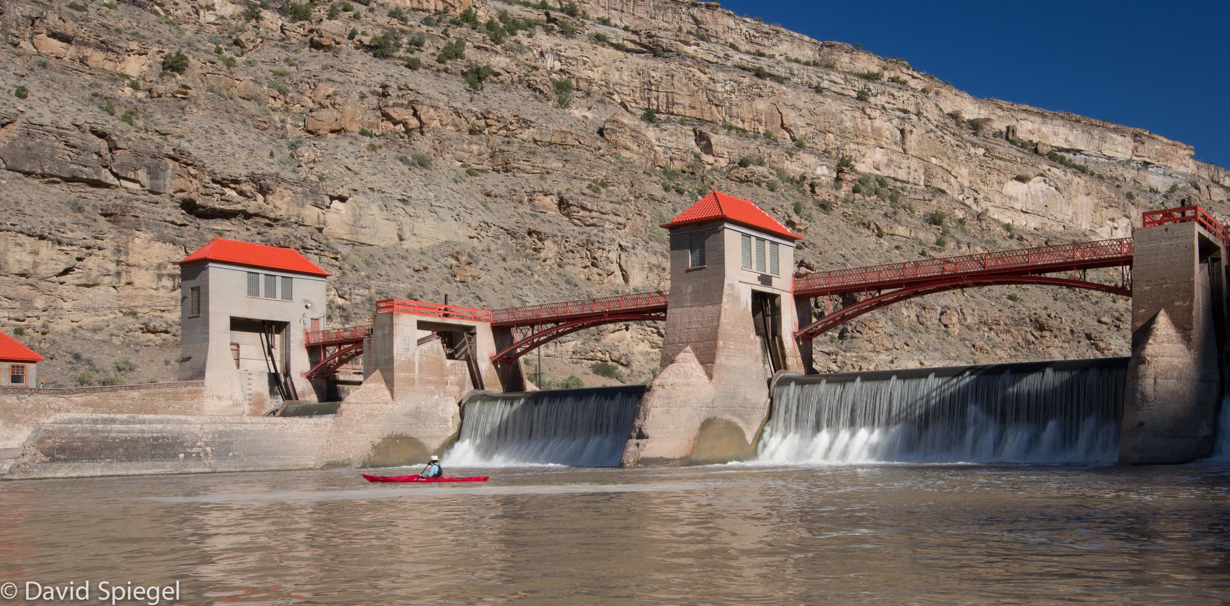
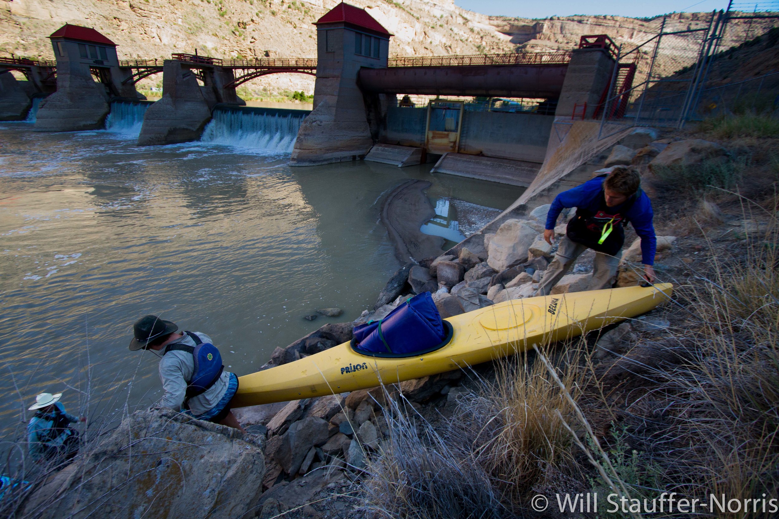 Portaging Cameo Dam after a run-in with the dam keeper. This is operated by the Bureau of reclamation and is one of the most important diversions on the Colorado- Its water rights are even senior to those owned by Denver and can force water to remain on the west side of the continental divide. This water is mainly used for crop irrigation in the Grand Valley.
 David paddles a fish ladder/diversion dam upstream from Grand Junction, CO.
 Will stands at the last in a series of diversions before the "15 miles reach" between Pallisade and Grand Junction, CO. The 15 mile reach is a section of river that is nearly dewatered to irrigate crops in the Grand Valley. Most of the water returns to the river by seeping through the ground or by flowing all the way through the irrigation ditches. We began the day with approximately 2700 CFS. Only 400 cfs remained for the 15 mile reach.

Harvesting wheat in Fruita, CO. We spoke with the farmer who owns this land and he explained to us that water projects are entirely necessary for the future of agriculture in the West and that we need to build more dams to manage the river properly for this purpose.
 Sunset in Ruby Horsetheif, just downstream from Fruita, CO. A park ranger informed us that this section of river sees 25,000 visitors each year.
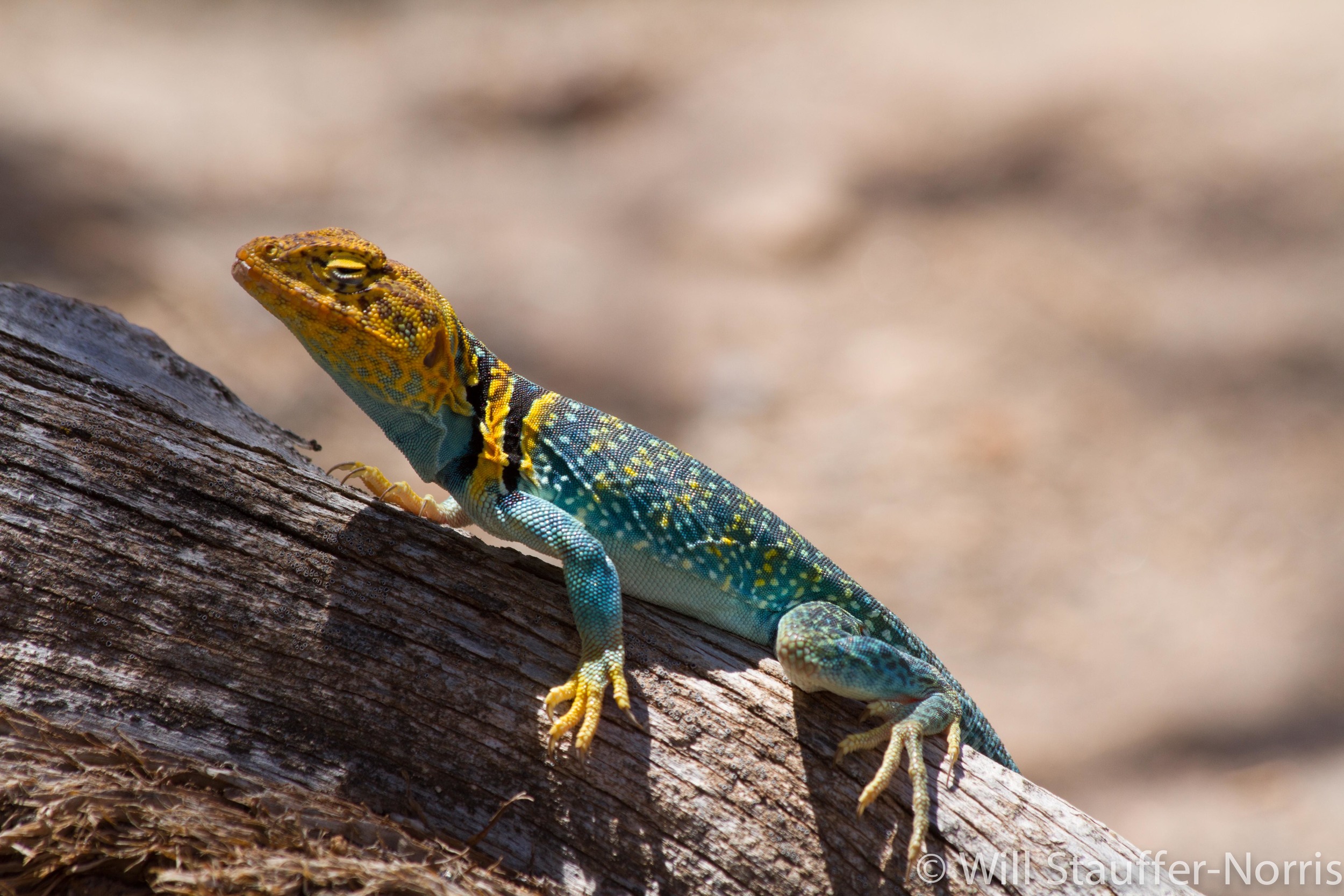 A collared lizard in Westwater.
 The crew paddles through the rapids of Westwater Canyon, UT. This is the first long stretch of river away from roads and railroads since Rocky Mountain National Park.
 Lightning illuminates the clouds and canyon walls in Westwater.
 Floating through the flat water on a hot day.
 Hiding out in the shade of our sweet wing on day 2 of Westwater. We discussed the Colorado Plateau with author Steve Trimble, left.
 Mike White joined us to float from Westwater to the Dolores Confluence. Mike works with the Southwest Conservation Corps to coordinate wilderness work crews that remove invasive tamarisk trees along the Dolores river. Behind him you can see an entire bank of defoliated tamarisk.
 We were greeted with beautiful afternoon light on the canyon walls as we approached the Canyons near Moab, Utah.

[fb_button]
